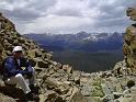
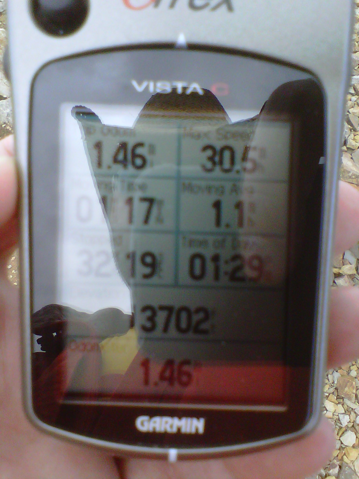
At the summit (13,702 feet) - the hike was 1.46 miles, in 1 hour 17 minutes of hiking and 32 minutes of resting.


Index Previous Next
| Maloney Manor Home | Bald Mountain on Google Topo Maps |
|
IMG00018-20100703-1329 At the summit (13,702 feet) - the hike was 1.46 miles, in 1 hour 17 minutes of hiking and 32 minutes of resting. |
Index Previous Next |
DATE: 7/3/10 1:28 PM | CAMERA: Research In Motion (BlackBerry 8530) | RESOLUTION: 1600 x 1200 | FLASH: Flash did not fire | FOCUS DISTANCE: 0.0m | EXPOSURE TIME: N/A | SHUTTER SPEED: | METERING MODE: null | APERTURE: | FOCAL LENGTH: | |
||
|
|
|
Generated by Jalbum 8.0
Design inspired by Exhibit Engine
|
Index Previous Next |

 Order prints