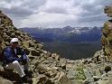
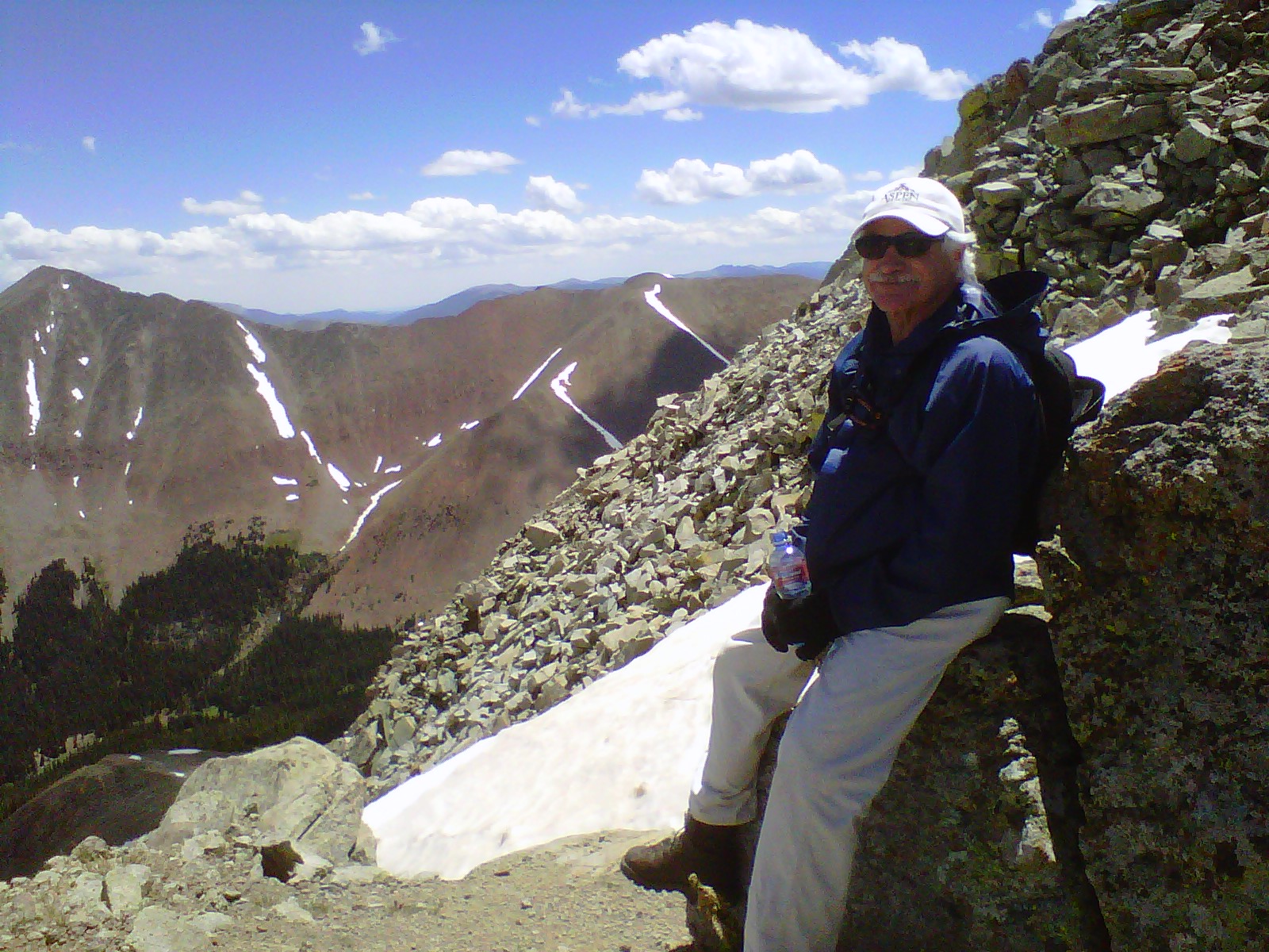
Dad, taking a break and getting a drink along the trail. As you can see by the rocks in the background, the trail is quite steep in places. The mountain visible on the left of the photo is Mt. Guyot.


Index At first page Next
| Maloney Manor Home | Bald Mountain on Google Topo Maps |
|
IMG00016-20100703-1225 Dad, taking a break and getting a drink along the trail. As you can see by the rocks in the background, the trail is quite steep in places. The mountain visible on the left of the photo is Mt. Guyot. |
Index At first page Next |
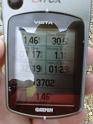
DATE: 7/3/10 12:24 PM | CAMERA: Research In Motion (BlackBerry 8530) | RESOLUTION: 1600 x 1200 | FLASH: Flash did not fire | FOCUS DISTANCE: 0.0m | EXPOSURE TIME: N/A | SHUTTER SPEED: | METERING MODE: null | APERTURE: | FOCAL LENGTH: | |
||
|
|
|
Generated by Jalbum 8.0
Design inspired by Exhibit Engine
|
Index At first page Next |

 Order prints